CAMINO REAL DE CHASNA
Photo Gallery
Description
Map
PHOTO GALLERY
DESCRIPTION
Along with other continental sections, the Camino Real de Chasna opts, together with other continental sections, to enter in the European Council as a Cultural Itinerary because, besides being the main secular transhumance trail between the two slopes of Tenerife, it was also one of the most frequented routes by a multitude of European scientists such as: Humboldt, Verneu, Von Buch, Smith, and many others. Currently, it is also part of the main section that is part of the GR-131 (Spanish section of the European E-7) and the Anaga-Chasna “Camino Natural”.
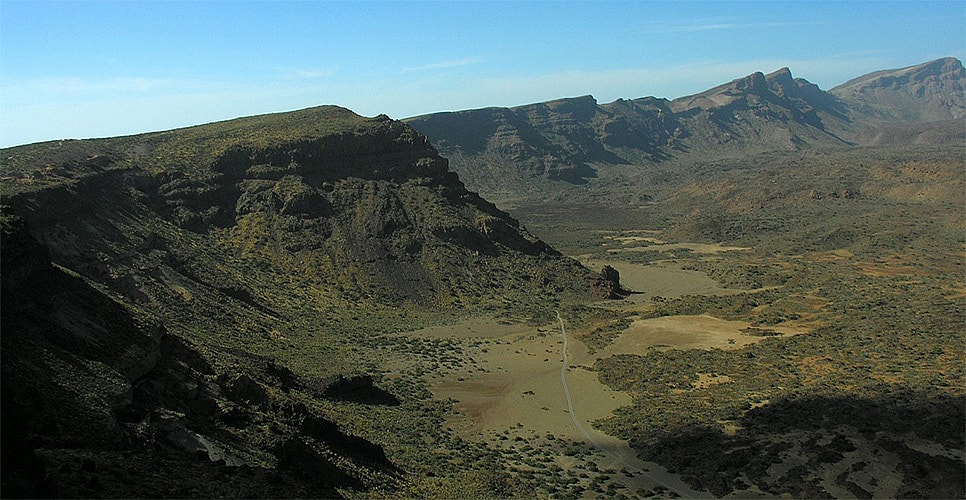
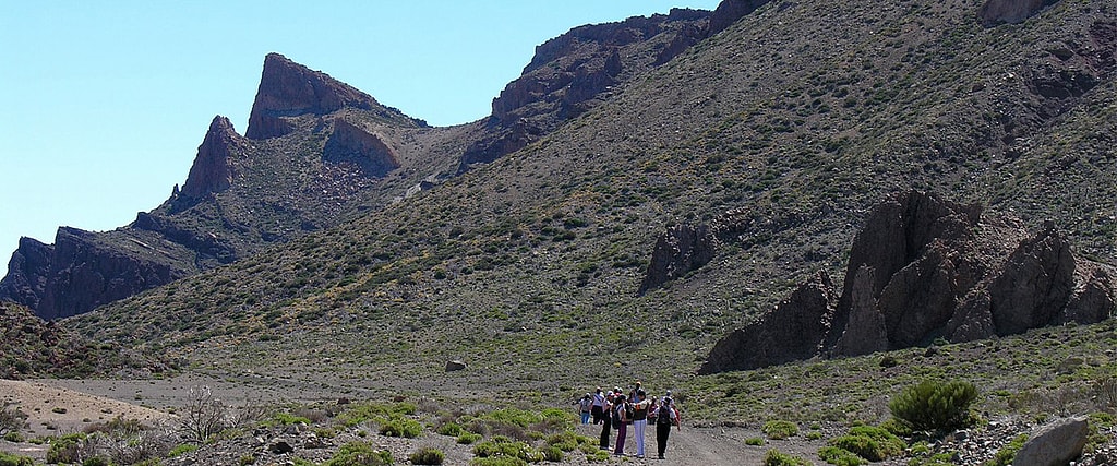
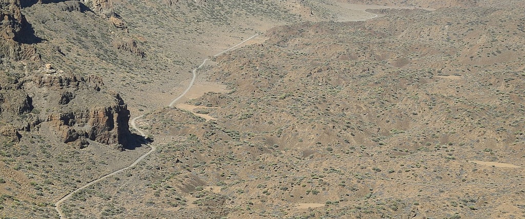
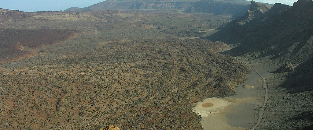
In aboriginal times, transhumance from band to band (slopes) was common, for example through the popularly known as “Camino Chasna” that runs from La Orotava in the North of the Island, where it has later given its name to a population center, Chasna, to the current municipality of Vilaflor de Chasna (hence the place name) in the South, and a branch to Granadilla de Abona, dating back to the 16th century and crossing the Cañadas del Teide.
It is interesting to note that it was the usual route for travelers and tourists who came to explore and get to know El Teide from the north, and that is why the chronicles and travel stories provide a good number of descriptions of this first stage of the road that ended in El Portillo de Las Cañadas, allowing to analyze the evolution of the landscape, the variations in the route of the road and the traditional resting places where passers-by stopped to water their beasts, load their water supplies and spend the night.
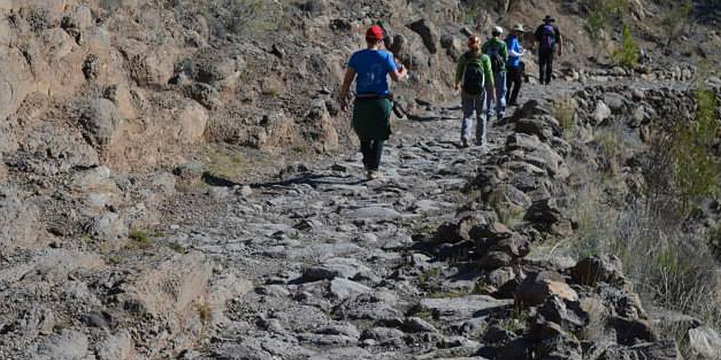
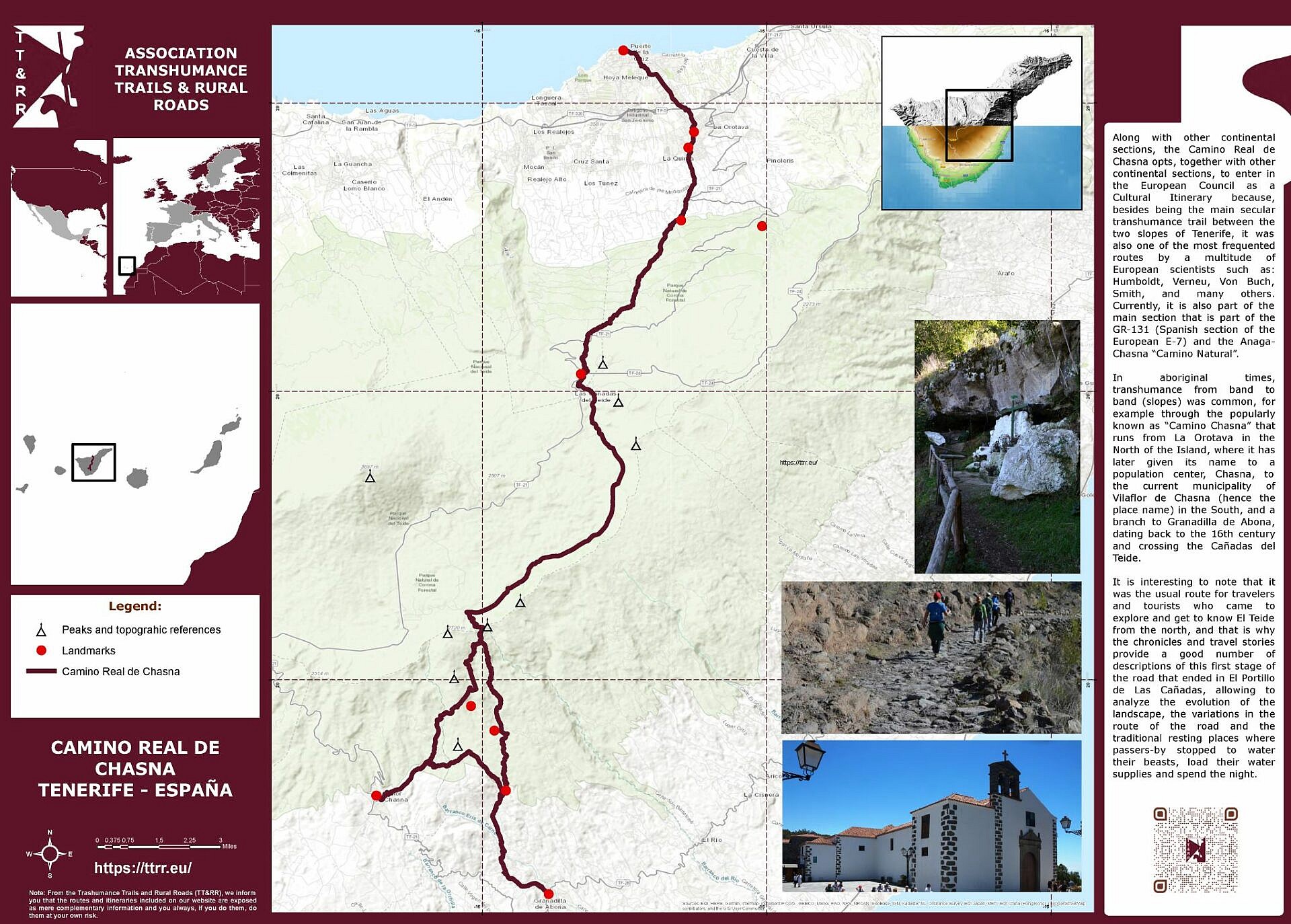
The “Camino de Chasna” could be covered in about ten or eleven hours on the back of a mule, although it was common to do it in two days, resting somewhere in between. The route of the path was clearly divided into three main stages, marked by reference points or resting places that were frequently used by passers-by on their way. The three main stages, and another secondary one, that divided the road were:
- Puerto de la Cruz - La Orotava - El Portillo section.
- El Portillo - Degollada de Guajara section.
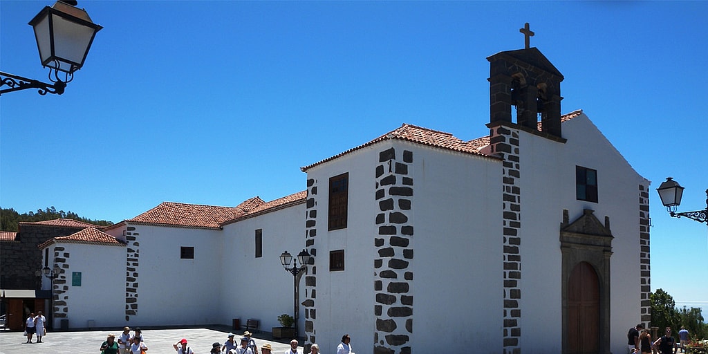
- Degollada de Guajara - Vilaflor de Chasna section.
- Vilaflor de Chasna - Granadilla de Abona section.
It is worth highlighting the arrival of European explorers and scientists linked to the “Camino de Chasna” which is an idea-force as a European Cultural Itinerary for the aforementioned historical route.
In the first place, when Alejandro de Humboldt pointed out his account of the climb to Teide in 1799 on the road to Chasna.
Secondly, when Leopold Von Buch climbed El Teide volcano, in 1836 and exactly like his predecessor, he commented on details of elements associated with the trial, like Dornajito spring from where monteverde vegetation immediately began and after leaving the region from the ferns, the path entered the pine forest area.
Thirdly, in 1822, M. Dumont D’Urville, used to rest in some caves along the way.
Therefore, the “Camino Real de Chasna”, as we have been able to comment succinctly, could be included in European cultural itineraries for the following compelling reasons:
- Representing the main communication route between the two slopes of the Island since the time before the conquest and later consolidated.
- It is the main and most related itinerary of those traveled by the main European researchers, explorers and scientists throughout the 18th century and especially the 19th century, especially Humboldt, Von Buch, Verneau, Smith, Mascart, among others.
- It is a trail that is currently part of the E7 path (Great European Path).
- It is one of the “Camino Natural” trails of the National Network.
- For being one of the European GRs, in this case, the GR.131.
- It is a trail that is part of the Teide National Park which, at the same time, is a UNESCO World Heritage Natural Asset.
- And, finally, for being part of the network of trails marked and approved by the European Ramblerts Association (ERA).

