


Camino Real de Chasna
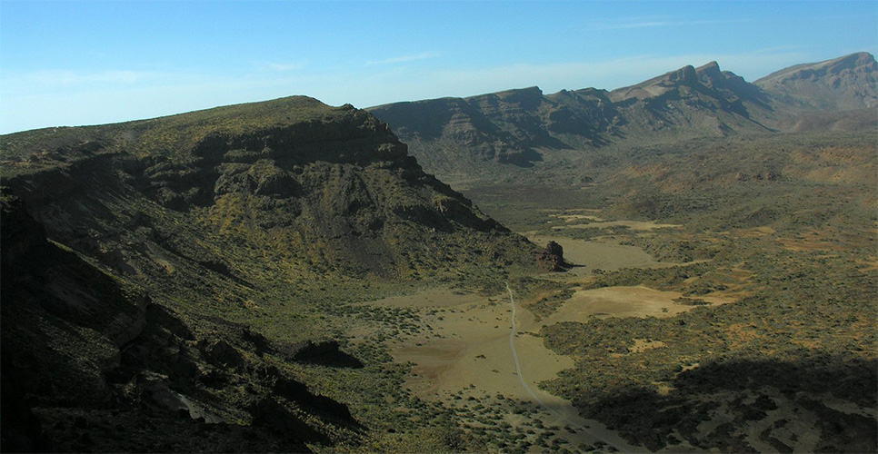
El Camino en la Cañada de Diego Hernández | Carlos Velázquez García

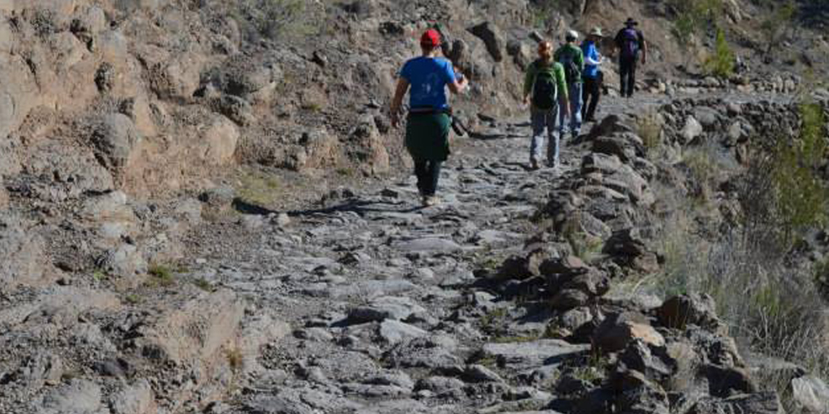
El camino en la Hoya del Montón de Trigo al pie de Pasajirón
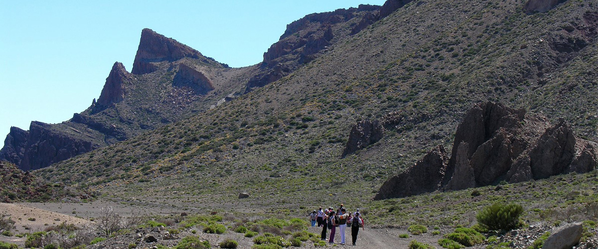
Sector del Camino de Chasna entre Cañada de Las Pilas y Cañada de La Grieta

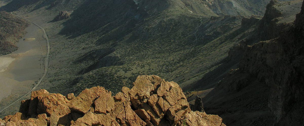
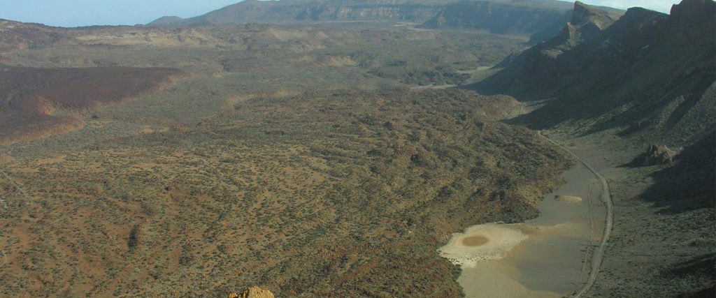
Vista desde Guajara del camino en la Hoya del Montón de Trigo | Carlos Velázquez García
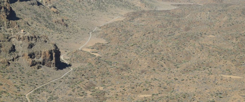
Vista desde Guajara del Camino Viejo y la pista actual en La Hoya del Montón de Trigo | Carlos Velázquez García

Chasna | José Juan Cano Delgado

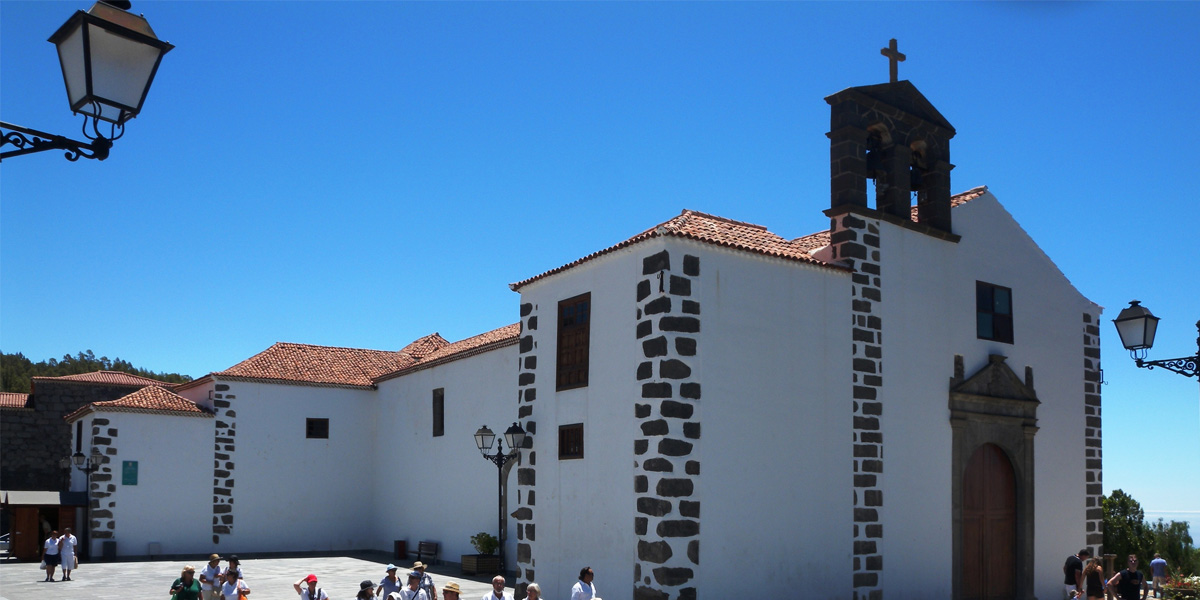
Vilaflor de Chasna | José Juan Cano Delgado
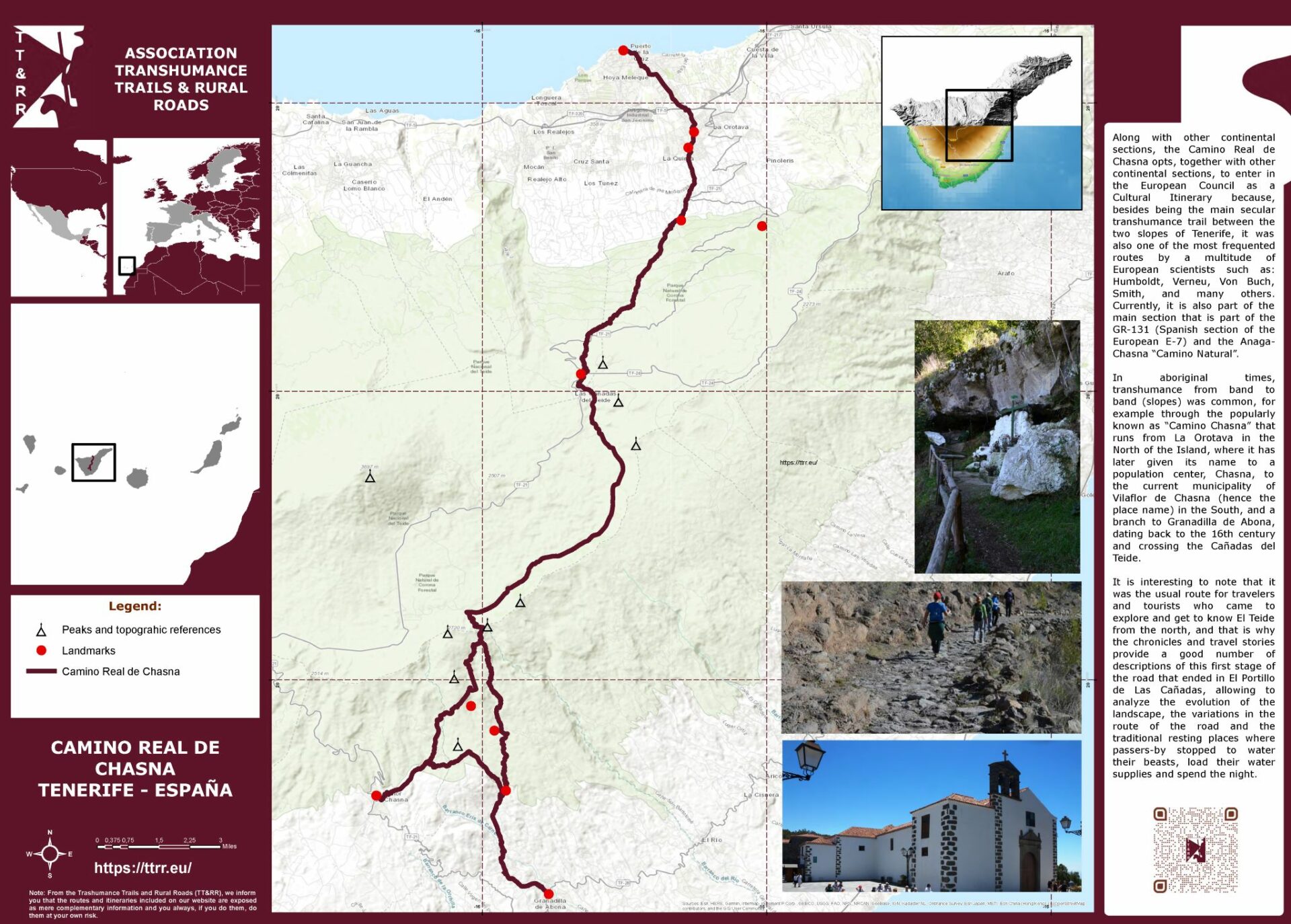
Camino Real de Chasna
El Camino en la Cañada de Diego Hernández | Carlos Velázquez García
El camino en la Hoya del Montón de Trigo al pie de Pasajirón
Sector del Camino de Chasna entre Cañada de Las Pilas y Cañada de La Grieta
Vista desde Guajara del camino en la Hoya del Montón de Trigo | Carlos Velázquez García
Vista desde Guajara del Camino Viejo y la pista actual en La Hoya del Montón de Trigo | Carlos Velázquez García
Chasna | José Juan Cano Delgado
Vilaflor de Chasna | José Juan Cano Delgado