CAMINO REAL DE LAS CALIFORNIAS
Photo Gallery
Description
Map
PHOTO GALLERY
DESCRIPTION
The Camino Real de las Californias, also called Camino de las Misiones de California, is related to the expansion of the missionary system carried out by the Jesuit, Franciscan, and Dominican missionaries. It connects along an approximate distance of 2,650 kilometers to the 61 missions and sites founded between the years of 1697 and 1834 in La Antigua or Baja California and Nueva or Alta California. It currently runs through the Baja California peninsula in northwestern Mexico and extends northward within the state of California in US territory.
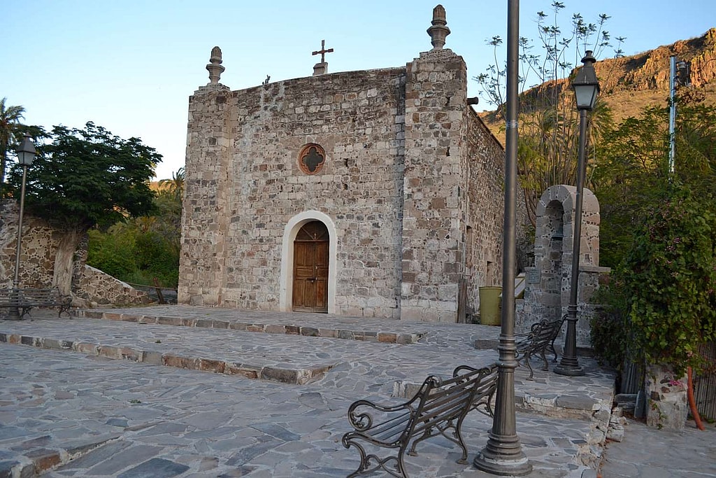
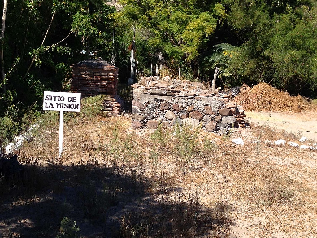
The road was expanding its long route to the south and to the north, starting with the establishment of the first permanent mission of Nuestra Señora de Loreto Conchó founded by the Jesuits on October 25, 1697. From this event, began the continuous missionary expansion and the construction of the roads that would connect the missions; two arduous and difficult actions initiated by the religious members of the Society of Jesus and that formed part of the fundamental strategy that gave way to the territorial occupation and, consequently, to the colonizing and civilizing process, permanent and prolonged, in the Californias.
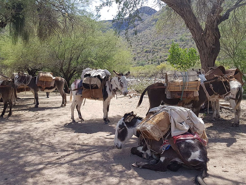
The road incorporated a set of characteristics that made it practical and utilitarian. It maintained communication between the missionaries, the personnel under their command, the indigenous people who lived in the mission towns, a route that allowed the supply of the missions with local products as well as transhumance and the exchange of livestock and agricultural products.
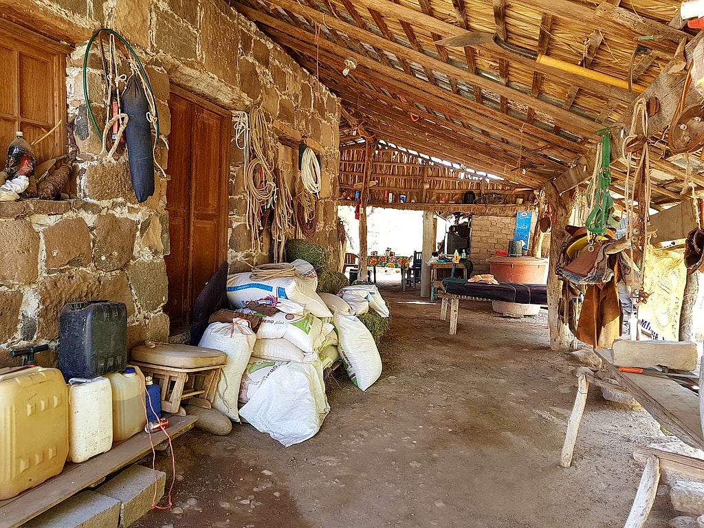
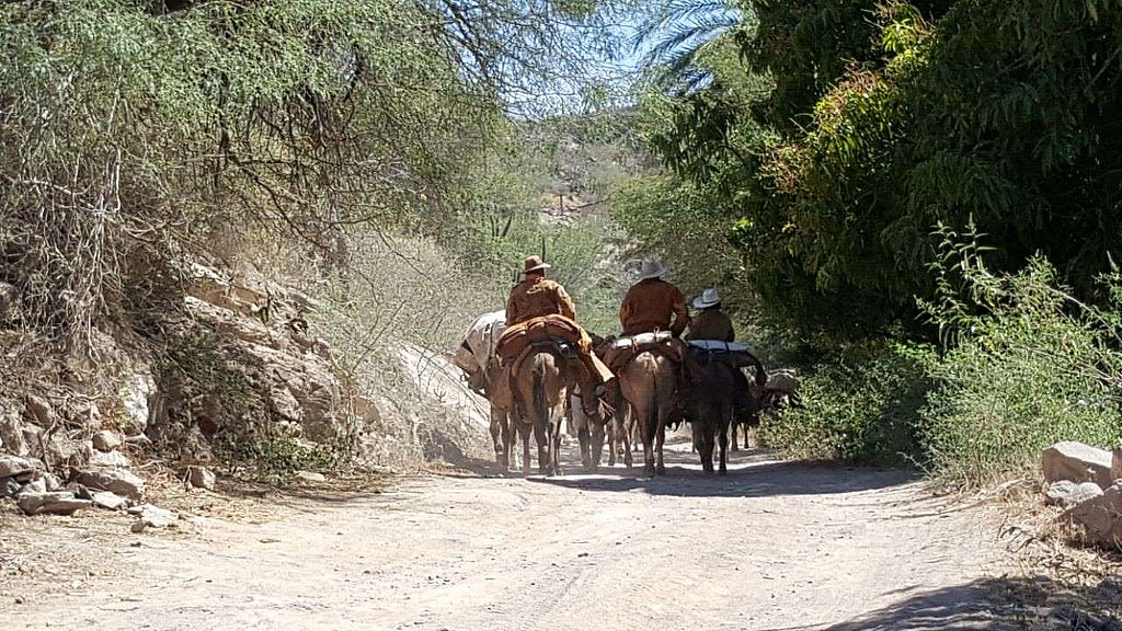
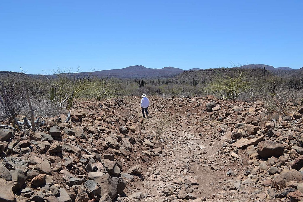
Currently in the Baja California peninsula, several sections of the long Camino Real de las Californias still preserve some of its original functional characteristics, for example: they maintain communication between populations that remain settled in some of the old missions as well as between the mountain ranches. They serve as routes of transhumance and exchange of agricultural products. They are routes that are used in the celebration of cultural traditions such as patron saint religious festivities.
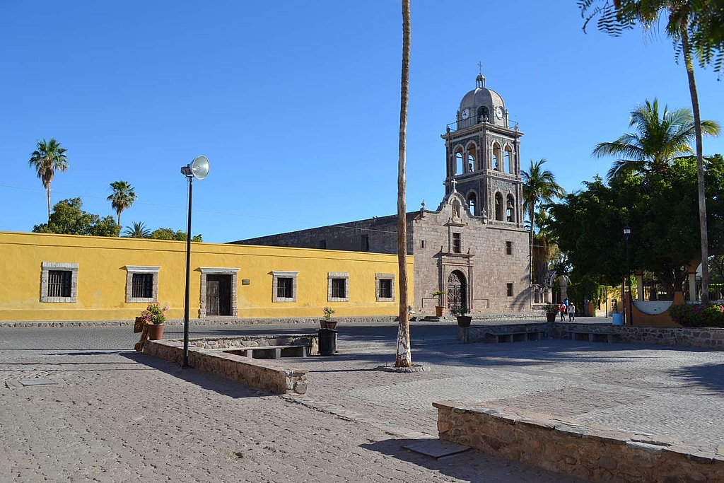
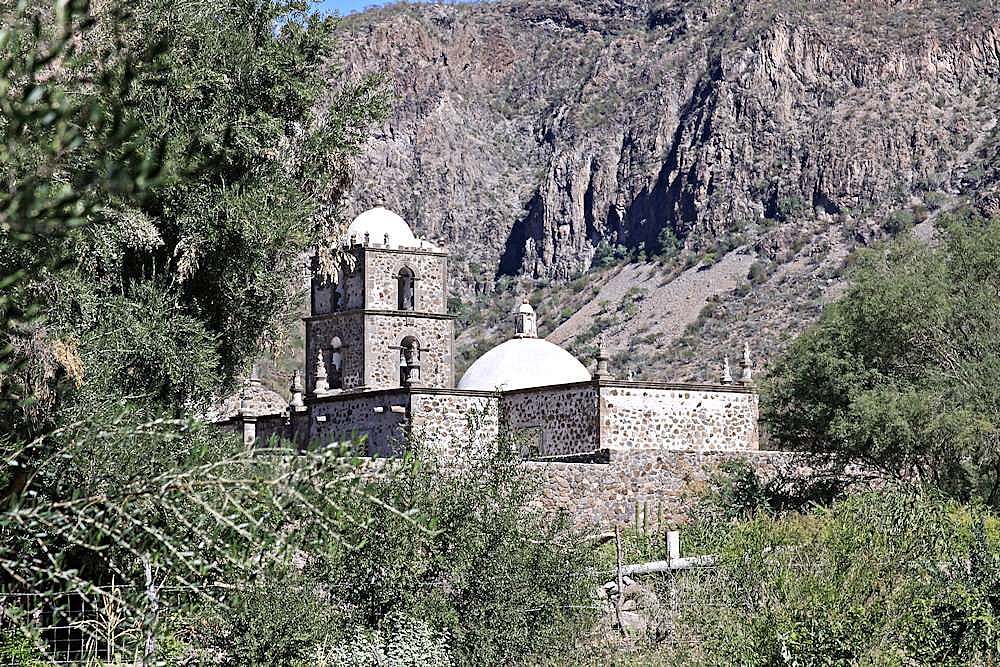
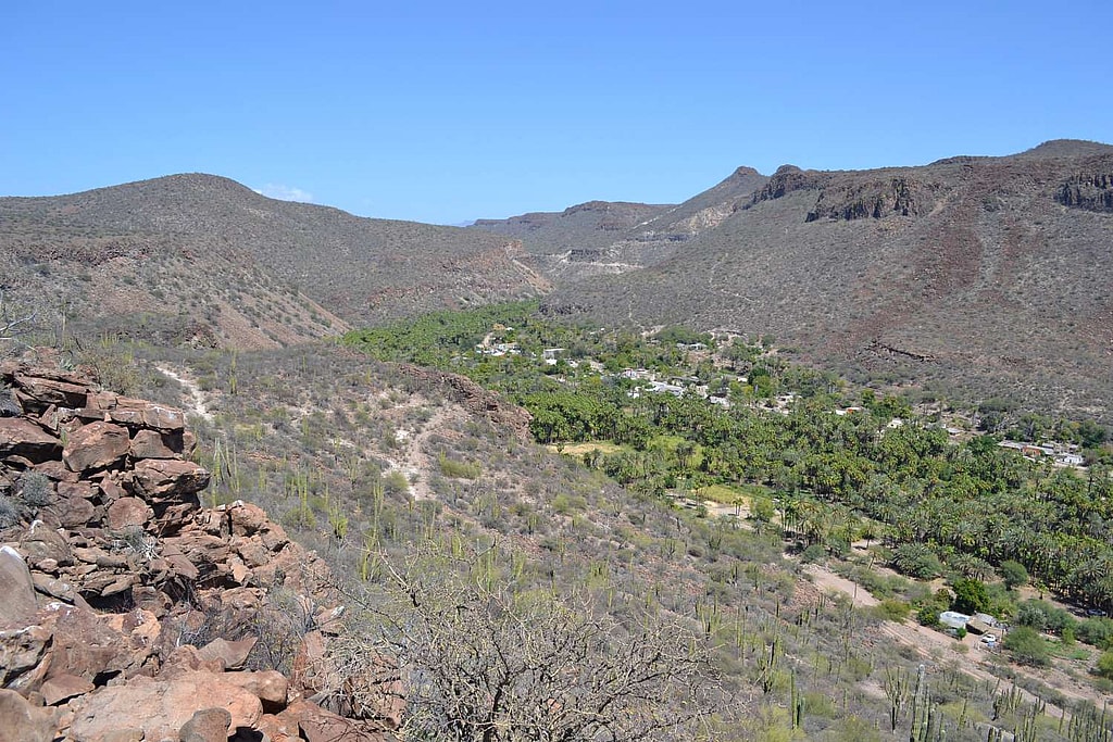
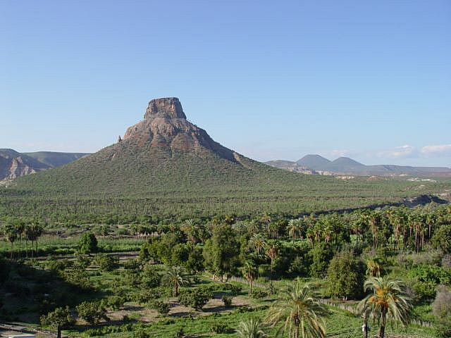
An excellent example that combines the experience of the amazing natural environment of the desert with the cultural richness of a territory that preserves its history and traditions largely intact, is the section of the Camino Real de las Californias that connects four of the missions built by the Jesuits: Nuestra Señora de Loreto Conchó (1697), San Francisco Javier Viggé Biaundó (1698), San José de Comondú (1708) and La Purísima Concepción de Cadegomó (1720). This section, made up of 8 segments, crosses the interior of the Sierra La Giganta for approximately 133 kilometers, crossing many places that show the regional cultural identity and at the same time crosses areas of great natural beauty.
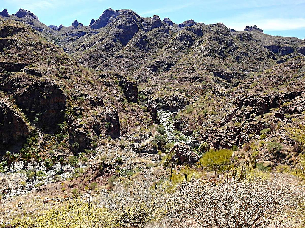
Along its route, a diversity of natural, prehistoric, historical and cultural values are revealed that give visitors and local residents the perception of “discovering some secrets around the path”, such as, for example, the populations and the ranches with their traditions, the uses and customs inherited from the missionary era, the history of the foundation of the missions, the nature of the geology, flora and fauna, the contrasting abrupt reliefs reflected by deep canyons and the plains represented by wide plateaus, springs and oases or wetlands, cave paintings and petroglyphs as well as the night sky accompanied by the light of the stars and the moon.
Great efforts to study, document, and map in detail the Camino Real de las Californias in the Baja California peninsula were carried out from the mid-twentieth century by Howard E. Gulick during the 50’s, Harry Crosby in the years 60’s and 70’s and Carlos Lazcano Sahagún at the end of the 80’s and in the first quarter of the 21st century.
Other antecedents date back to 1996 when the National Institute of Anthropology and History in the state of Baja California designed the strategy for the rescue of the cultural and natural heritage around this historic road. Towards the end of 2015, the California Missions Foundation and the CAREM Historic Corridor, A.C. announced a binational initiative to achieve the designation of the Camino Real de las Californias as a UNESCO World Heritage Site. For its part, the National Institute of Anthropology and History in the states of Baja California and Baja California Sur, began work to integrate the technical file that would allow the Camino Real de las Californias to be proposed as a UNESCO World Heritage Site in the category of cross-border cultural itinerary.
Based on the aforementioned background, the Asociación Civil Californios Amigos de la Historia y los Estudios Locales (CAHEL, A.C.), based in La Paz, Baja California Sur (Mexico), as an entity affiliated with the International Association of Transhumance Trails and Rural Roads (TT&RR), presents the initiative to integrate a proposal whose purpose is to ensure that the Camino Real de las Californias (also known as Camino de las Misiones de California) strengthens the candidacy in which it participates in relation to the “Transhumance Trails and Rural Roads” within the framework of the call promoted by the Council of Europe, for its certification as a “European Cultural Itinerary”, without prejudice to the fact that this old historic road may also be recognized as a cultural asset by other local, state, national and international entities.

